
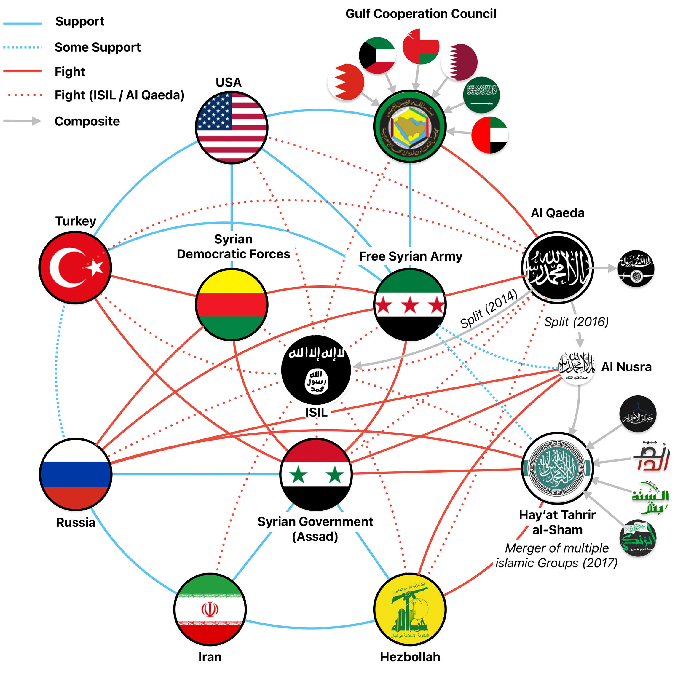
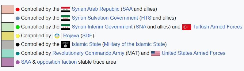
When tensions surface in Syria, they rarely do so evenly across the map. They appear in specific neighborhoods, along particular supply routes, and around nodes that carry political or logistical weight. The current strain between the Syrian Democratic Forces (SDF) and Hayat Tahrir al-Sham (HTS) should be read in exactly that way: as a geographically structured phenomenon, not an abstract rivalry.

To understand what is unfolding, one must look at where control is exercised, where it overlaps, and where it remains deliberately separated.
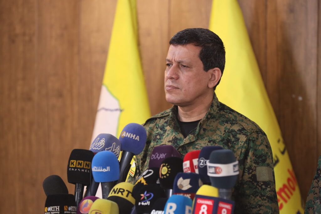
The SDF’s Core Zone: Northeast and the Euphrates Corridor
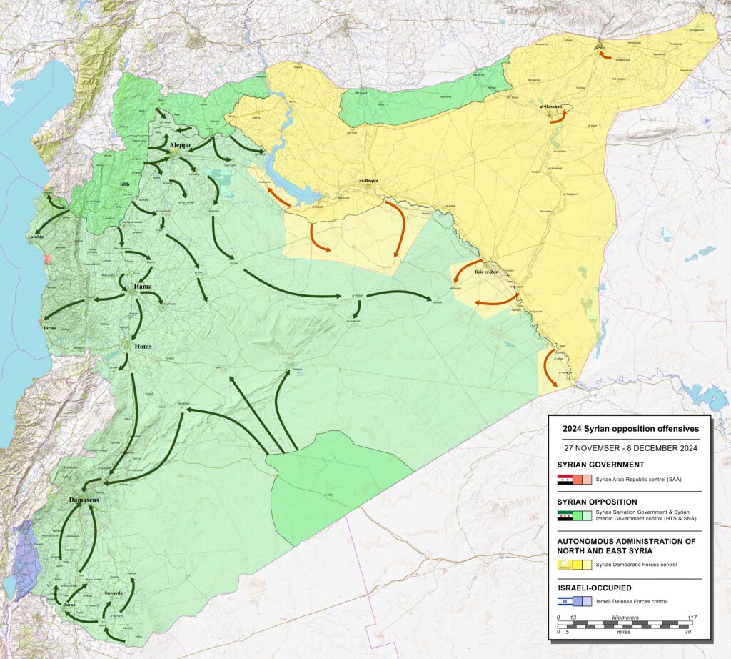
The SDF’s center of gravity lies in northeastern Syria, stretching across large parts of Hasakah Governorate, Raqqa Governorate, and eastern Deir ez-Zor Governorate. This territory is not only extensive but also internally diverse, combining urban centers, tribal rural areas, agricultural zones, and key infrastructure sites.
In Hasakah, SDF authority is anchored around cities such as Qamishli, Hasakah city, and surrounding districts. The area hosts long-standing administrative structures, border crossings toward Iraq, and several legacy energy installations dating back to the pre-2011 period. Although production levels are far below historical capacity, these installations still function as economic and political assets, supporting local governance and security logistics.
Moving south, Raqqa represents a different type of control environment. Once the symbolic capital of the Islamic State, Raqqa today serves as a governance showcase for the SDF. Control here is less about frontline defense and more about maintaining order, managing public services, and preventing the re-emergence of insurgent networks.
Further southeast, Deir ez-Zor Governorate carries disproportionate strategic weight. East of the Euphrates River, areas such as al-Omar, Koniko, Tanak, and Jafra are frequently cited in international reporting and policy documents. These sites matter not because they are contested daily, but because they anchor the SDF’s bargaining position in any national-level negotiation. Control of Deir ez-Zor’s eastern bank also places the SDF in direct proximity to tribal dynamics that remain volatile and politically sensitive.
HTS Territory: Idlib and the Northwest Consolidation
HTS operates in a very different spatial environment. Its power base is concentrated in Idlib Governorate, with influence extending into parts of western Aleppo countryside and limited pockets of northern Hama and Latakia countryside.
Key towns such as Idlib city, Sarmada, Ariha, and Jisr al-Shughur form the backbone of HTS’s administrative and security network. Unlike the SDF, HTS governs a densely populated enclave under constant external pressure, with limited depth and no access to major natural resources.

Foto: Ricardo Stuckert / PR Lula Oficial, CC BY-SA 4.0 https://creativecommons.org/licenses/by-sa/4.0
This constraint has shaped HTS behavior over time. The group has prioritized internal consolidation, border control with Turkey, and the management of trade flows through crossings like Bab al-Hawa. Its security posture is inward-looking, designed to prevent fragmentation and external penetration rather than to project power eastward.
Aleppo: Where Fault Lines Become Visible
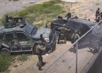
The city of Aleppo occupies a unique position in the SDF–HTS equation. While neither actor controls the city as a whole, Aleppo contains pockets of SDF-linked neighborhoods, most notably Sheikh Maqsoud and Ashrafiyah in the northern part of the city.

These districts have long functioned as political and security outliers within government-controlled Aleppo. They are geographically isolated, densely populated, and symbolically important. When violence erupts here, it is not merely a local security incident. It signals stress along a wider fault line connecting negotiations, local governance arrangements, and external pressure.
Recent clashes in these neighborhoods demonstrated how quickly Aleppo can re-enter strategic calculations. Road closures, civilian casualties, and temporary displacement underscored the city’s fragility. Yet the rapid move toward localized ceasefires also showed that all sides recognize Aleppo as too important to lose control over.
Buffer Zones and Deliberate Separation
Between SDF and HTS territories lies a broad zone of separation that includes parts of Manbij countryside, western Raqqa, and areas under Turkish-backed Syrian opposition influence. These zones act as buffers, reducing the likelihood of accidental escalation.
Notably, there is no continuous SDF–HTS frontline comparable to classical civil war fronts. Instead, the separation is maintained through geography, third-party control, and political signaling. This structural distance explains why tensions tend to manifest indirectly, through statements, negotiations, or localized incidents far from core territories.

Energy as a Structural Constraint, Not a Trigger
Within this territorial map, energy plays a secondary but stabilizing role.
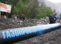
The SDF’s presence over much of Syria’s remaining oil and gas infrastructure, particularly in eastern Deir ez-Zor and parts of Hasakah, provides financial continuity and administrative leverage. These assets support fuel supply for civilian services, local transportation, and security operations. They also feature prominently in discussions about future national reintegration.
However, energy sites are notably absent from the immediate SDF–HTS friction points. HTS does not operate near these fields, nor does it possess the capacity to directly contest them without crossing multiple political and military thresholds. This distance reinforces a pattern of mutual restraint, where neither side benefits from disrupting systems that invite broader intervention.
External Actors and Spatial Discipline
International and regional actors have quietly enforced a form of spatial discipline in Syria. The expectation that certain zones remain stable, northeastern oil areas, Idlib’s containment zone, Aleppo’s urban core, limits the range of acceptable action for local actors.
Negotiations between the SDF and Damascus have been shaped by this logic. Discussions about reintegration, border crossings, and institutional alignment repeatedly reference specific territories and infrastructure nodes, underscoring the importance of geography in political outcomes.
For HTS, these talks represent a potential reshaping of the map that could reduce strategic ambiguity. For the SDF, they represent both opportunity and risk, tying long-held territories to national frameworks that may limit autonomy.

Reading the Map Forward
The current SDF–HTS tension should not be read as a countdown to war. It should be read as a recalibration of spatial and political boundaries within a system that remains highly constrained.
Key indicators to watch are geographic, not rhetorical:
- Stability in Aleppo’s northern districts
- Security posture around Deir ez-Zor’s eastern bank
- Changes in buffer zone management near Manbij and western Raqqa
As long as these areas remain contained, the system holds. When pressure builds simultaneously across multiple zones, Syria’s balance begins to shift.
For now, the map tells a story of tension managed through distance, negotiation, and constraint rather than confrontation.
Sources
Reuters – Reporting on Aleppo clashes and SDG–Syrian government negotiations, 2025
Middle East Institute – Analysis of SDG integration talks and territorial implications, 2025
EU Agency for Asylum (EUAA) – Syria Country Focus Report, areas under SDG control, 2025
Washington Institute for Near East Policy – Briefings on Syrian territorial dynamics and governance structures, 2025
International Crisis Group – Reports on armed group coexistence and buffer zones in Syria, 2024–2025